The start of the weekend looks to be a copy-and-paste of what South Florida experienced on Friday, which was sizzling sunshine through much of the day before scattered to numerous showers and thunderstorms erupted during the late-afternoon hours.
Our highest rain chances will once again be during the mid to late afternoon hours this Saturday, meaning lots of dry time is in the forecast.
Record heat will even be possible in Miami, though, with a forecast high of 94F following yesterday’s high of 95F!

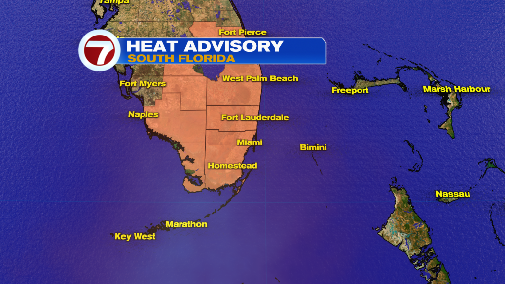
A Heat Advisory is in effect for all of South Florida as a result for peak heat indicies up to 108-112F from 10AM-6PM.

Temperatures will gradually subside a bit through mid next week due to earlier storm timing and therefore extra clouds around from time-to-time.
On Sunday, expect partly sunny skies with passing showers and storms also likely, especially from midday through the mid-afternoon hours — so an earlier start compared to Saturday.

Unfortunately, due to an upper level low lurking over the southeastern US this week, we’ll have the daily risk for showers and thunderstorms, especially during the afternoon hours. This will lead to flood concerns with several inches of rainfall looking likely by the week’s end.

In the tropics, the National Hurricane Center is tracking Tropical Storm Gordon — no direct threat to land as it is forecast to remain over the open waters of the Atlantic Ocean.

Closer to home off the Southeast US coast, a subtropical or tropical depression or storm could form early next week and affect parts of the US. This one also isn’t a concern to South Florida.

(Except for the headline, this story has not been edited by PostX News and is published from a syndicated feed.)

