
Following a cold front that crossed through Thursday night, another round of cool temperatures has been unleashed as we welcome the first weekend of spring!
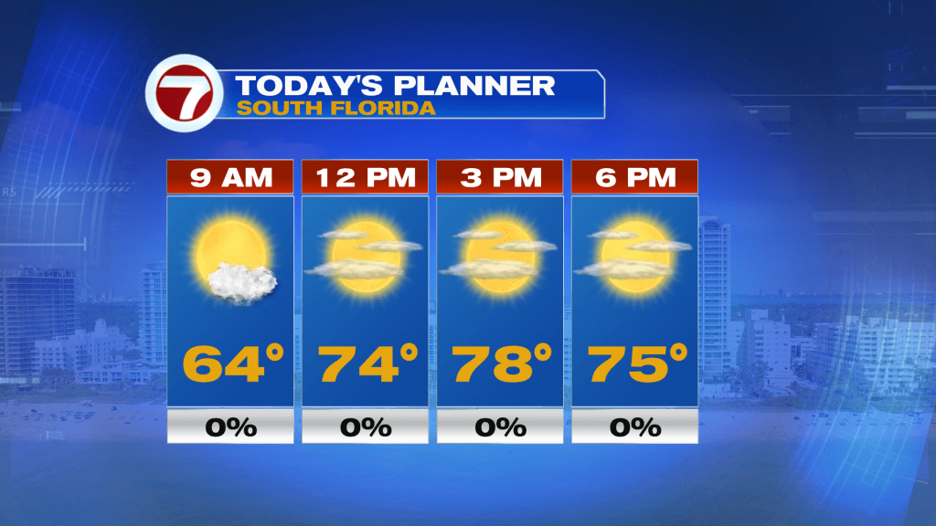
This Saturday morning, a majority of locations are waking up to temperatures that are cool and well below average for this time of the year in the 50s.
By the afternoon, expect highs to be in the mid to upper 70s paired with sunshine and increasing, thin, upper level clouds during the second half of the day.
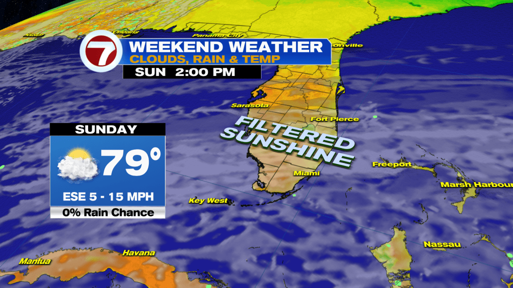
That will give way to mostly cloudy skies on Sunday. It won’t be dark and dreary, however, given the thin nature of these clouds. Instead, the sunshine will be more muted. Temperatures on Sunday will be milder to start with widespread 60s and highs fairly similar as Saturday with most locations in the upper 70s.
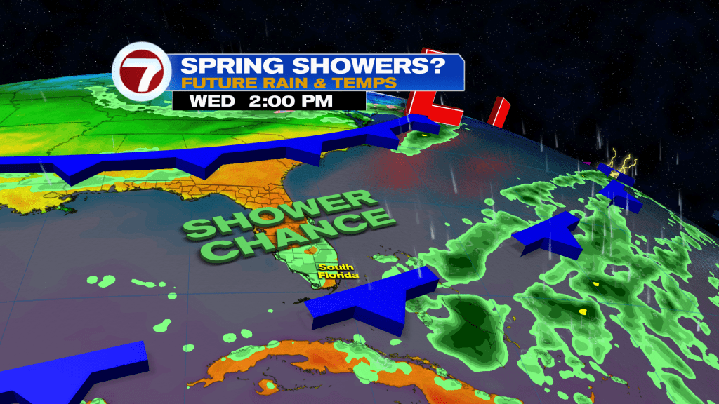
Some big changes then arrive next week as a couple, weakening fronts arrive from the north. Despite these fronts, temperatures will be warmer with highs back in the 80s and morning lows that will lack a chill.
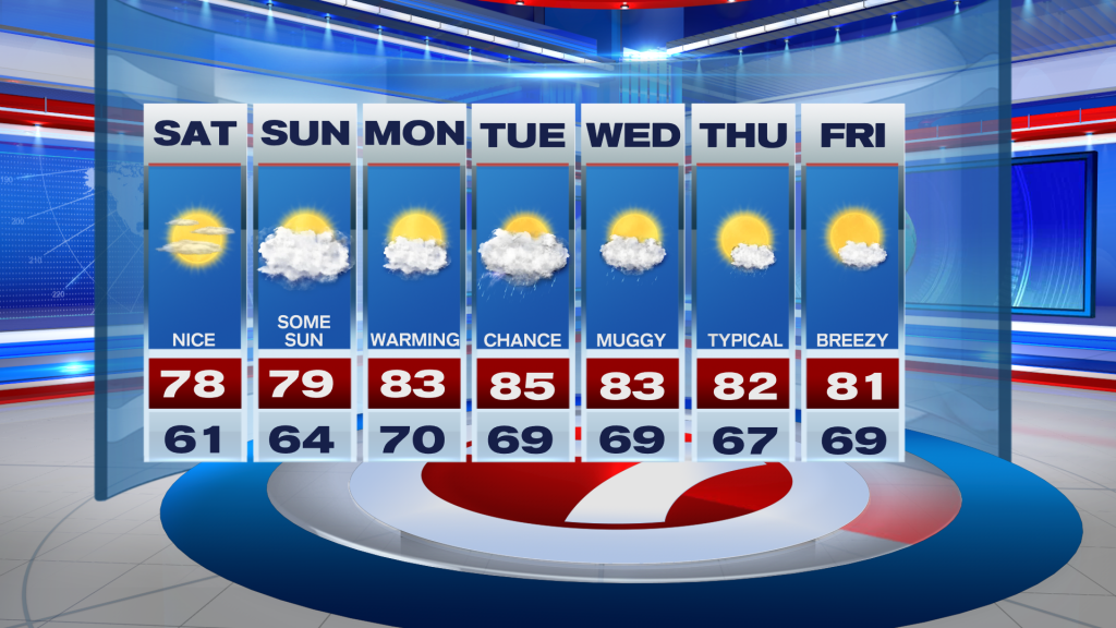
These fronts will even usher in the chance for at least seeing some isolated showers and thunderstorms, especially around the midweek period.
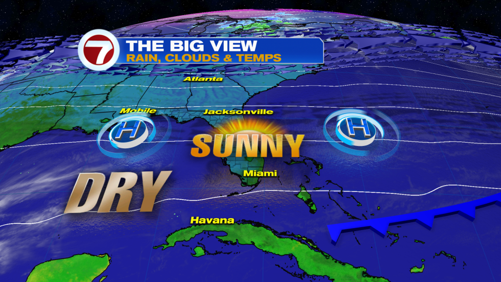
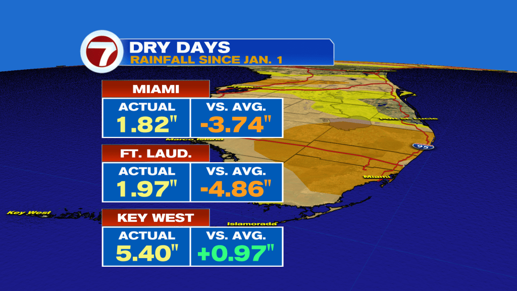
We definitely need the rain given the Severe Drought affecting most of Miami-Dade and Broward Counties!
(Except for the headline, this story has not been edited by PostX News and is published from a syndicated feed.)