It will finally feel like fall, just in time for this weekend in South Florida!
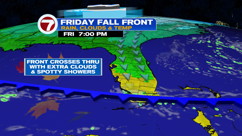
A fall front is crossing through South Florida Friday afternoon, knocking high temperatures down from the mid 80s to the low 80s for the weekend. It doesn’t sound like much and it really isn’t but it will be a nice change given how warm it’s been this November so far. Humidity levels will also be lower behind the front.
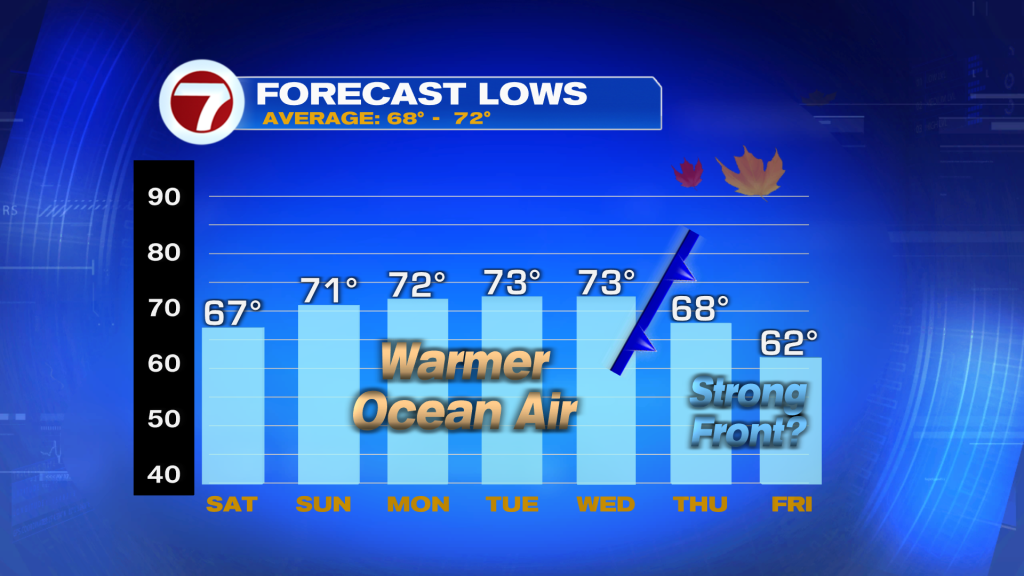
Expect wakeup temperatures Saturday morning to be the coolest since back in April for both Miami and Fort Lauderdale. Lows will be in the mid to upper 60s courtesy of a northerly wind behind the front.
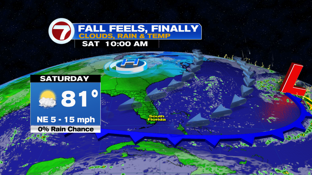
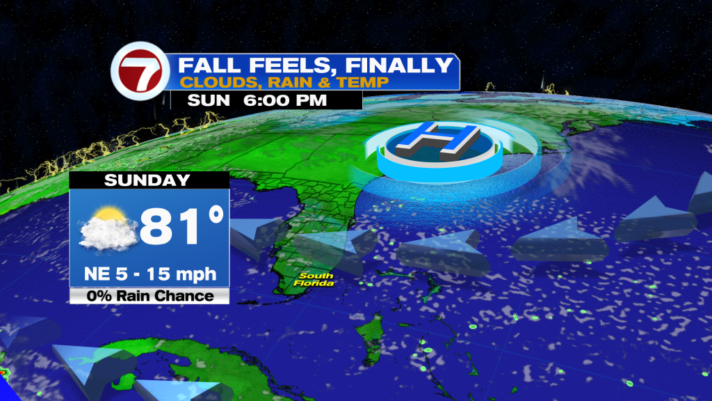
An onshore wind then returns starting Saturday afternoon, however, moderating temperatures and drawing in extra clouds from time-to-time, especially on Sunday. As mentioned, highs will be in the low 80s which is normal for this time of the year.
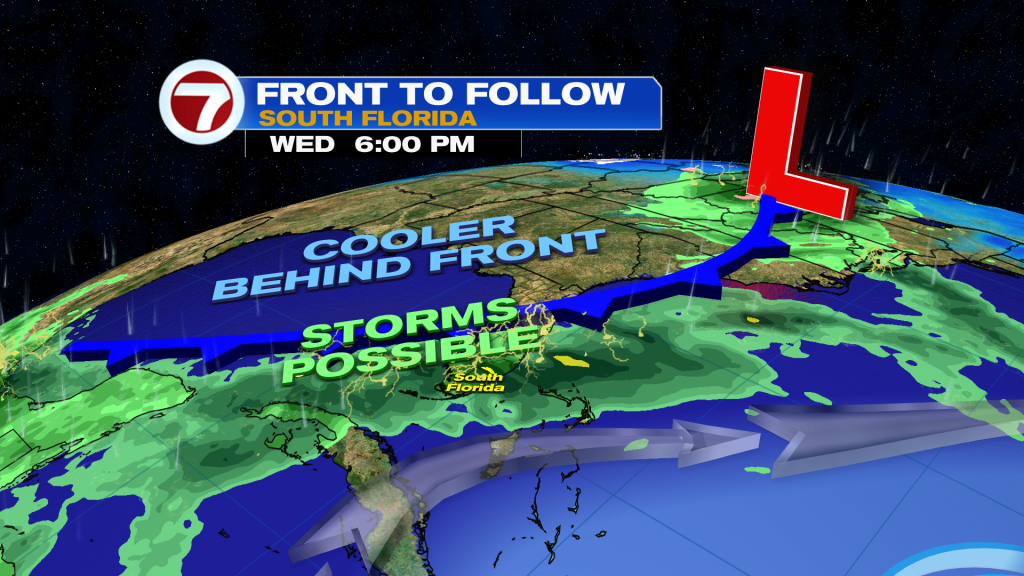
Temperatures will gradually warmup through Wednesday before a potentially stronger front drops our highs into the 70s and lows well into the 60s by the end of next week. This is subject to change, though, given the long range nature of this forecast.
Ahead of this front will be possible showers and thunderstorms moving through Wednesday. This front will even contain Sara’s remnant moisture, but thankfully Sara is forecast to dissipate and will not be a tropical system for the US.
Tropics update
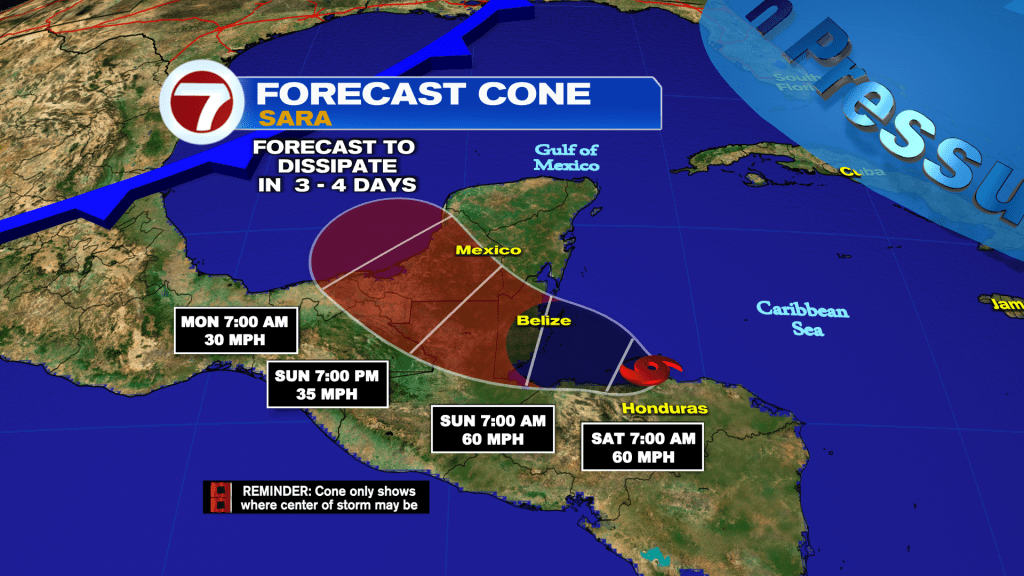
Speaking of Sara, it remains a slow-moving tropical storm near the northern coast of Honduras. It will continue to dump heavy rainfall there through this weekend before dissipating by Monday over the Yucatan Peninsula.
(Except for the headline, this story has not been edited by PostX News and is published from a syndicated feed.)

