
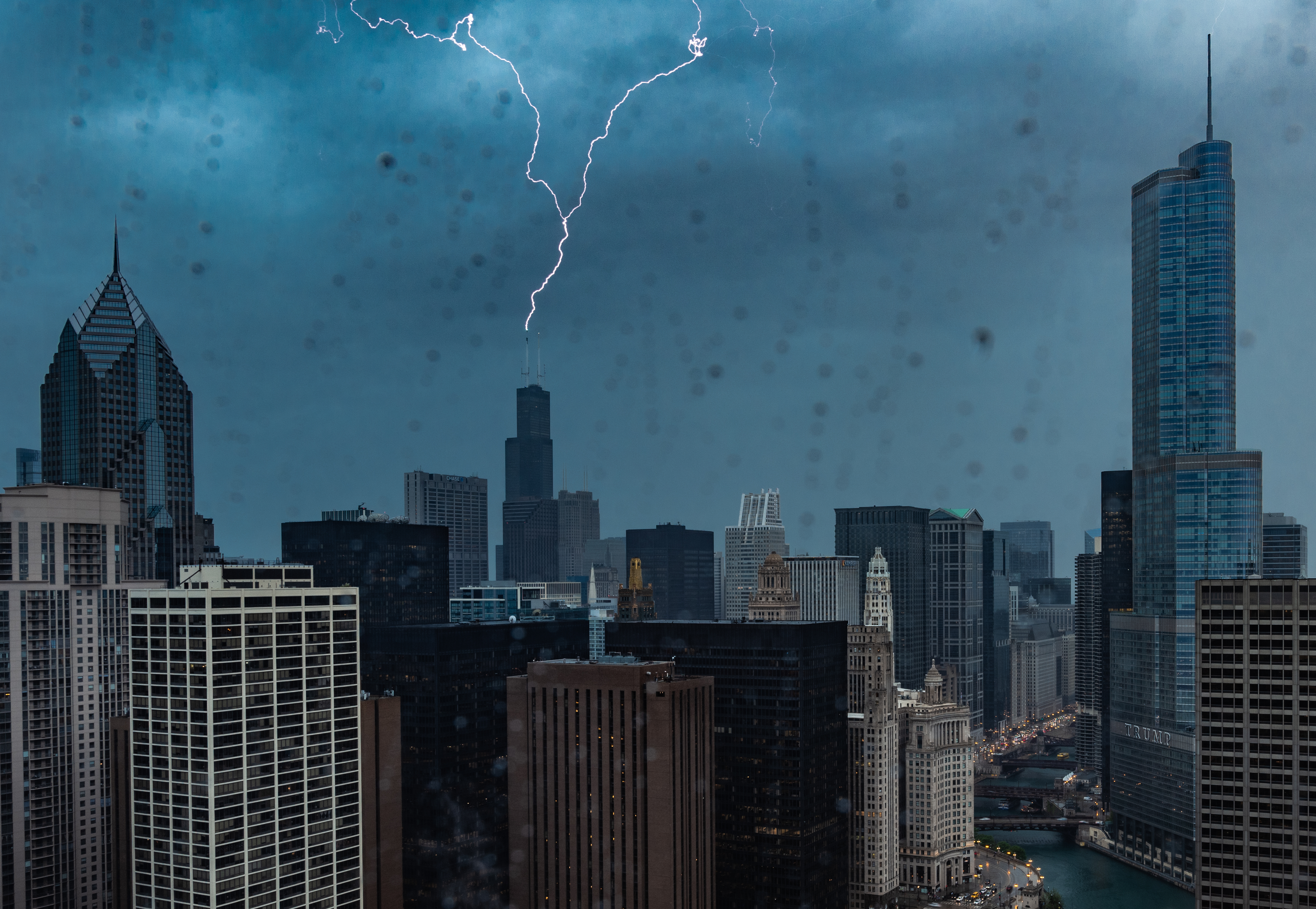
At least two rounds of strong-to-severe storms could pummel the Chicago area this week, the NBC 5 Storm Team said, threatening the region with heavy downpours, damaging winds, hail and even the chance for tornadoes.
The forecast comes hours after the National Weather Service confirmed an EF-0 tornado touched down Sunday in parts of northwest Indiana, leaving thousands without power. Less than two weeks earlier, an EF-1 tornado blew through Gary, ripping the roof off a school gymnasium.
The first chance for severe weather comes Tuesday night, NBC 5 Strom Team Meteorologist Iisha Scott said. The daytime hours however will be dry and breezy, Scott said, with highs in the 40s.
Showers are expected to begin developing after 7 p.m., Scott said, with some rumbles of thunder possible. Multiple rounds of scattered rain and strong-to-severe thunderstorms will continue into early Wednesday, Scott added.
As the storms pick up, the entire Chicago area overnight Tuesday and into Wednesday morning will be at a “marginal” risk of severe weather, which ranks as level one of five. According to the NWS, the greatest weather threats that could come with the first round are large hail, gusty winds, frequent lightning and heavy downpours.
Waves of showers and storms are expected late tonight into Wednesday morning. It might be a good idea to get to bed early if you are a light sleeper! Main hazards include hail up to 1″, frequent lightning, and gusty winds (severe threat level 1 of 5). #ILwx #INwx pic.twitter.com/PY3oy2OpjQ
— NWS Chicago (@NWSChicago) April 1, 2025
Periods of showers and storms will continue into the day Wednesday, Scott said. While there will be breaks in the rain at times, the chance for severe weather becomes greater late Wednesday morning through evening, Scott said, with “all weather hazards at play.”
At that time, the entire Chicago area will be at an “enhanced” risk of severe weather, which ranks as level three of five.
“Gusty, damaging winds, heavy rain, hail and even tornadoes are all possible,” Scott said, of Wednesday’s weather threats. “45 mile per hour wind gusts outside of the thunderstorms,” Scott warned.
Severe weather remains a possibility on Wednesday across the area (threat level 3 of 5) including all hazards: damaging winds, large hail, and tornadoes! Similar to Sunday’s severe weather there remains forecast uncertainty due to possible morning storms. Stay tuned! #ILwx #INwx pic.twitter.com/z48KaRy6oA
— NWS Chicago (@NWSChicago) April 1, 2025
According to the NWS, Wednesday’s waves of thunderstorms can be expected between 11 a.m. and 8 p.m. Morning storms could impact whether afternoon and even storms turn severe, the NWS said.
The active spring pattern will also bring a roller coaster ride for temperatures, with highs in the 40s Tuesday, followed by temperatures nearing 70 on Wednesday. Thursday, temperatures will dip back down into the 50s.
The next chance for rain comes late Friday into Saturday, Scott said.
(Except for the headline, this story has not been edited by PostX News and is published from a syndicated feed.)